
Drone photography: what it adds to a property listing
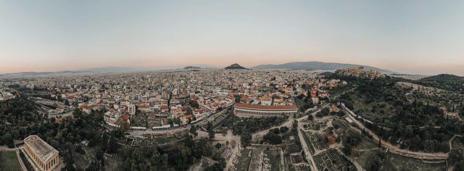
Drone photography shows what a ground camera cannot: the position, the view and the relationship of the property to its area.
01
What it shows
Aerial photography shows the neighbourhood, access, outdoor spaces and view. It is useful when these elements are part of the value.
Not every property needs a drone. An apartment on an internal street may benefit more from a good floor plan.
02
Rules and quality
Flights respect privacy and regulations. Image quality must be consistent with the rest of the presentation.
Excessive effects reduce credibility. A clean image is more persuasive.
“Aerial photography is not an effect. It is proof of position.”
This article is general information and does not constitute legal, tax or investment advice.
The Journal
Related articles
 01
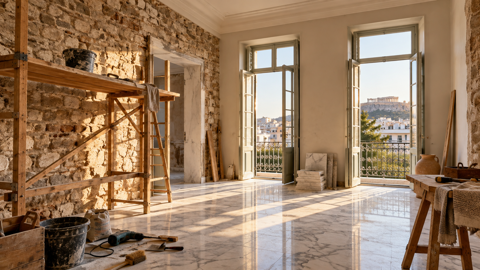
Renovation: when it really increases value
Not every renovation increases value. The right intervention solves a problem, improves use and speaks to the market.
 02
How we work together: from first impression to signature
A clear four step process, combining technical knowledge, strategy and consistent communication.
 03
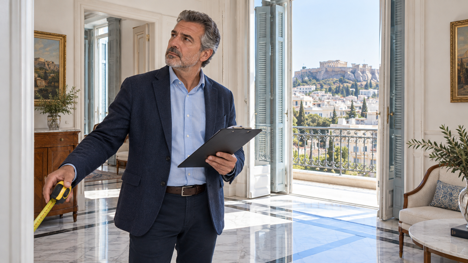
Property valuation: how a price that holds is built
It is not a guess. It is a combination of technical evidence, comparable data and real demand.
The Journal
Do you have a property or a decision ahead?
A structured 45 minute conversation can clarify the next move.